Note: This addon document is for an older version of GRASS GIS that will be discontinued soon. You should upgrade your GRASS GIS installation, and read the current addon manual page.
NAME
r.traveltime - Estimation of travel times/isochrones.Computes the travel time of surface runoff to an outlet
KEYWORDS
raster, hydrologySYNOPSIS
r.traveltime
r.traveltime --helpr.traveltime [-q] dir=name accu=name dtm=name manningsn=name out_x=string out_y=string threshold=string b=string nchannel=string dis=string [slopemin=string] out=name [--overwrite] [--help] [--verbose] [--quiet] [--ui]
Flags:
- -q
- Quiet
- --overwrite
- Allow output files to overwrite existing files
- --help
- Print usage summary
- --verbose
- Verbose module output
- --quiet
- Quiet module output
- --ui
- Force launching GUI dialog
Parameters:
- dir=name [required]
- Flow direction map (e.g. derived by r.watershed)
- accu=name [required]
- Flow accumulation map (e.g. derived by r.watershed)
- dtm=name [required]
- Depressionless, filled terrain model (e.g. derived by r.fill.dir)
- manningsn=name [required]
- Map with Manning's n value for surface roughness
- out_x=string [required]
- x coordinate of basin outlet
- out_y=string [required]
- y coordinate of basin outlet
- threshold=string [required]
- Minimum number of cells (threshold) that classify cell as channel
- b=string [required]
- Channel width
- nchannel=string [required]
- Channel roughness (Manning's n)
- dis=string [required]
- Specific discharge [l/s/km**2]
- slopemin=string
- Minimum slope for flat areas [m/m]
- out=name [required]
- Output travel time map [seconds]
Table of contents
DESCRIPTION
r.traveltime computes the travel time of surface runoff to an outlet. The program starts at the basin outlet and calculates the travel time for each raster cell recursively. A drainage area related threshold considers either surface runoff or channel runoff. Travel times are derived by assuming kinematic wave approximation.In order to derive channel flow velocities, an equilibrium discharge for each cell is calculated (Q=Area*specific discharge).
The results can be used to derive a time-area function. This might be useful for precipitation-runoff calculations (estimation of flood predictions) with a lumped hydrological model (user-specified unit hydrograph).
REMARKS
The program ist restricted to SI units (meters). The algorithm is recursive. Maybe it will not work with extensive datasets. It is assumed that the minimum slope is 0.001. For smaller gradients the program uses this value.Please not that the flow accumulation map must be defined as single direction. Multiple flow directions are not supported. Thus, the "SFD (D8) flow" option has to be set if, e.g., the r.watershed module is used to generate the input files (parameter s). The flow accumulation map should include positive values only (-a of r.watershed). Flow direction definitions are in accordance to the r.fill.dir program using the "agnps" format option.
KNOWN ISSUES
The program does not work correctly if Manning's roughness grid is defined as double (float expected). To define a simple uniform roughness distribution try: r.mapcalc 'roughness = 0.1f'EXAMPLE
This example uses the North Carolina sample dataset.
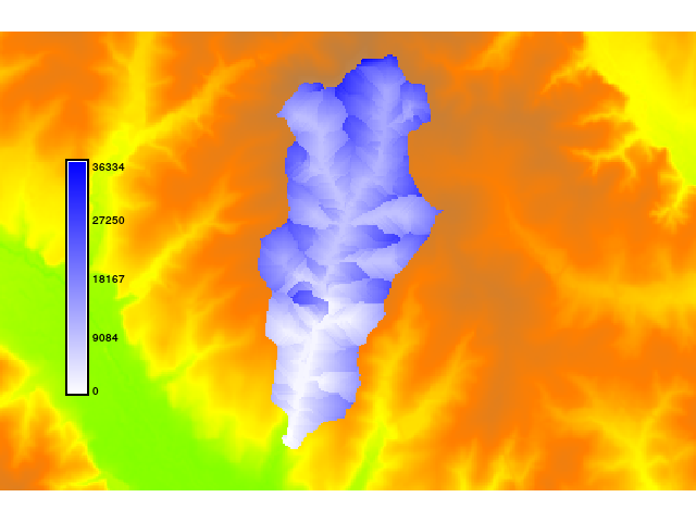
g.region raster=elevation
r.mapcalc "n = 0.1f"
r.fill.dir input=elevation output=fill direction=flowdir format=agnps
r.fill.dir input=fill output=fill2 direction=flowdir2 format=agnps
r.watershed -a -s elevation=fill2 accumulation=accu
r.traveltime --overwrite dir=flowdir2 accu=accu dtm=fill2 manningsn=n \
	out_x=634613 out_y=217014 threshold=250 b=3 nchannel=0.03 slopemin=0.01 \
	dis=900 out=ttime
r.colors ttime colors=blues
SEE ALSO
r.watershed, r.fill.dirhttp://jesbergwetter.twoday.net/stories/4845555/
REFERENCES
- Kilgore, J. L. (1997): Development and evaluation of a GIS-based spatially distributed unit hydrograph model, master thesis, Virginia Polytechnic Institute and State University.
- Melesse, A. M., Graham, W. D. (2004): Storm runoff predicition based on a spatially distributed travel time method utilizing remote sensing and GIS, Journal of the American Water Resources Association, 8, 863-879.
- Muzik, I. (1996): Flood modelling with GIS-derived distributed unit hydrographs, Hydrological Processes, 10, 1401-1409.
AUTHOR
Kristian FoersterSOURCE CODE
Available at: r.traveltime source code (history)
Latest change: Monday Jun 28 07:54:09 2021 in commit: 1cfc0af029a35a5d6c7dae5ca7204d0eb85dbc55
Note: This addon document is for an older version of GRASS GIS that will be discontinued soon. You should upgrade your GRASS GIS installation, and read the current addon manual page.
Main index | Raster index | Topics index | Keywords index | Graphical index | Full index
© 2003-2023 GRASS Development Team, GRASS GIS 7.8.9dev Reference Manual