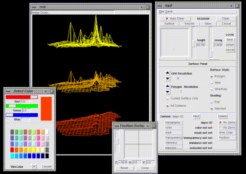


nviz is a GRASS module-in-progress which allows users to realistically render multiple surfaces in a 3D space, optionally using thematic coloring, draping GRASS vector maps over the surfaces, and displaying GRASS site files either draped on the surfaces or as 3D point locations.
We are currently in the process of rewriting the tcl/tk interface to make it easier for programmers to add functionality, and porting the graphics from IRIS GL to OpenGL.
Features - Slides from Visualization 97 Conference
Maintained list of BUGS in NVIZ (we are working on these bugs).
Animations. Since each surface often consists of hundreds of thousands of polygons, with render times of several seconds to a minute, we represent the surfaces with wire meshes as a rough approximation when a user is
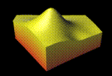
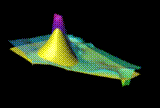
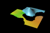
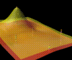
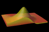
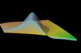
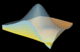
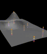
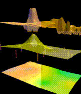
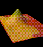
Snapshots. These thumbnail images are links to full size screen dumps showing some of the multiple surface features of nviz.
 GMSL Modeling & Visualization Home Page