GRASS Developer Summit 2025
A week of collaboration in Raleigh

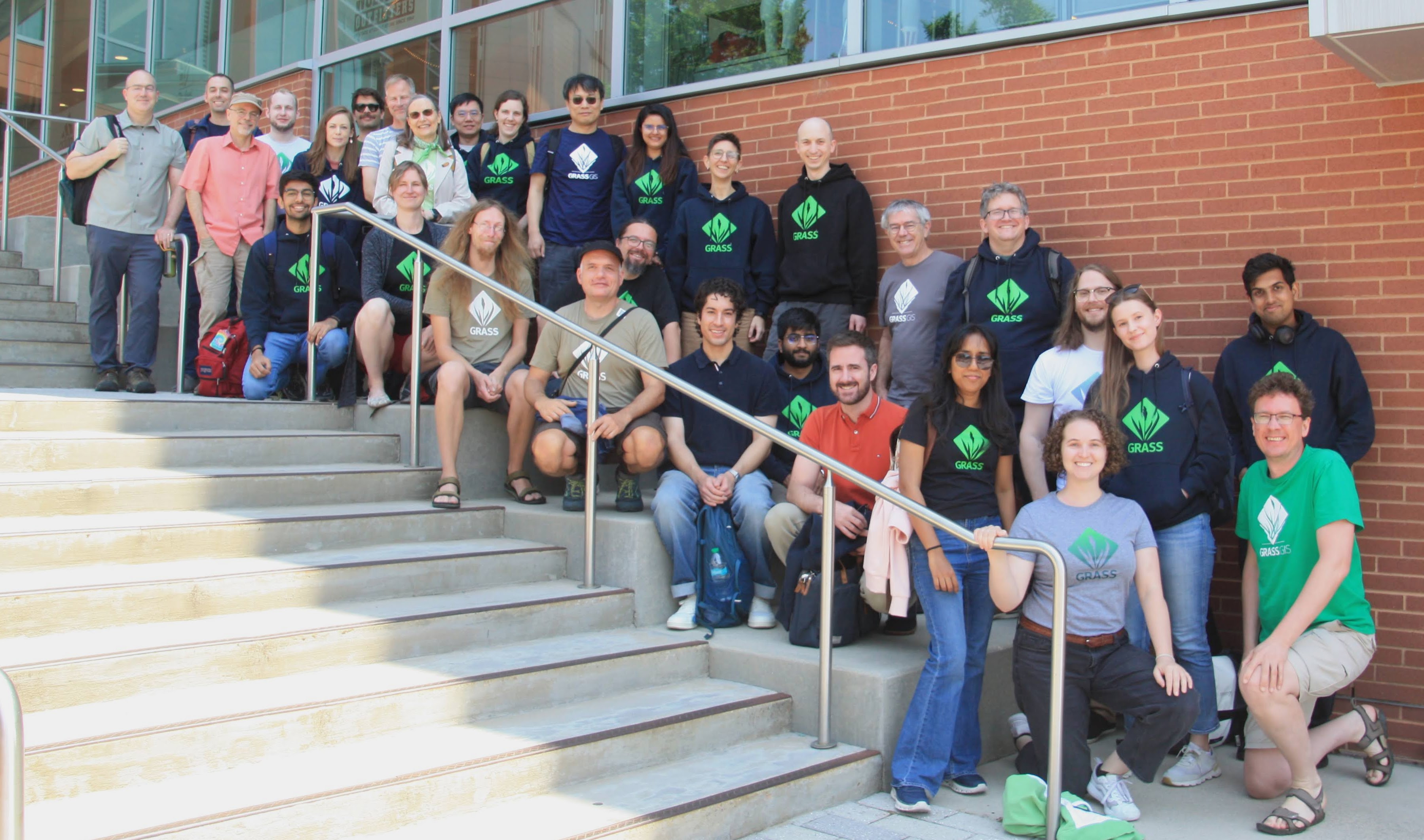
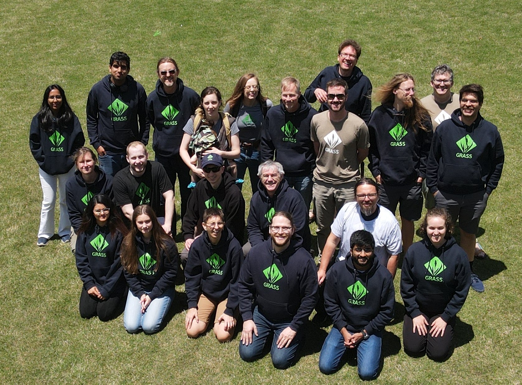
The GRASS Developer Summit 2025 brought together more than 30 contributors from around the world for six days of focused collaboration in Raleigh, North Carolina. Held May 19–24 at North Carolina State University, the event served as the main annual gathering of the GRASS community, providing space for developers, researchers, and users to connect, share ideas, and move the project forward.
Highlights
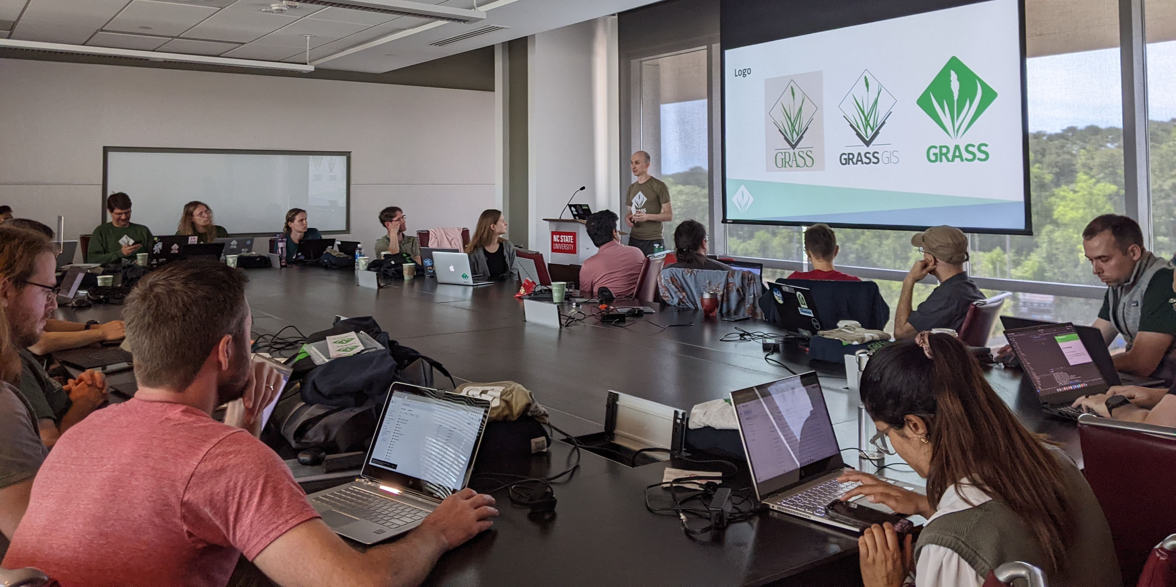
The week featured a mix of hands-on hacking, roadmap discussions, and
topic-based working sessions. Participants explored a wide range of
 ideas—from improving access to GRASS tools and simplifying color table
workflows, to adding support for hyperspectral data, creating a GRASS
backend for xarray, and integrating Jupyter into GRASS GUI. Other sessions
focused on translation and documentation strategies, the contribution
process for new users, and how to better support scientific and educational
use cases. There was time dedicated to planning GRASS roadmap and discussing
next steps for maintaining and enhancing its core and add-on functionality.
Contributors also worked on parallelization of algorithms, development of new addons, continuous
integration, conda packaging, CMake build, compliance with the Filesystem
Hierarchy Standard (FHS), large language models (LLMs), and tutorials for
the new tutorials website.
Detailed list of contributions can be found at the event’s
wiki page.

Lightning talks
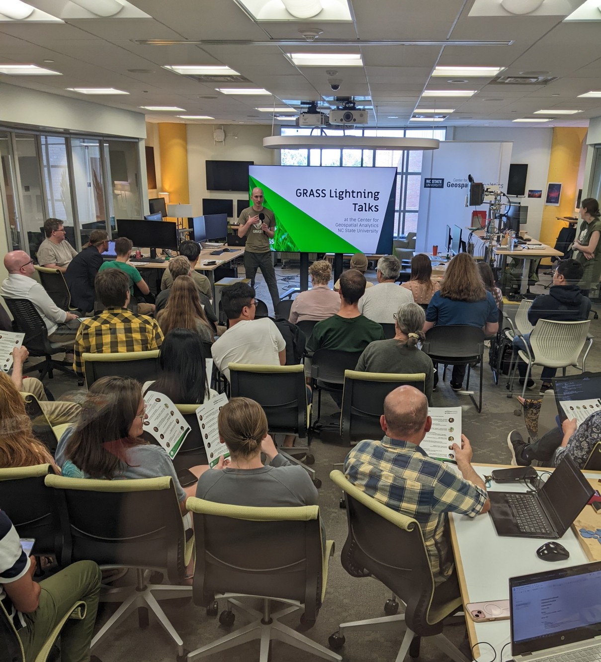
As part of our outreach to the local geospatial community, the Center for Geospatial Analytics helped us to host an evening of lightning talks highlighting the diverse capabilities of GRASS. Presentations from Markus Metz & Markus Neteler (mundialis), Rob Dzur (Bohannan Huston, Inc.), and Nick Brady (Natrx) covered trench planning for optical cables, elevation-derived hydrography, and coastal erosion assessments. Six additional speakers from government and academia showcased GRASS applications in urban growth modeling, species distribution, continental-scale hydrology, vector data cleaning, lidar-based hydro flattening, and agricultural runoff modeling with Tangible Landscape.
Thanks everyone!!!
We’re grateful to everyone who helped organize, supported, or participated in the GRASS Developer Summit 2025. Over 20 people contributed to making it a success—about half from NC State and half from other institutions. The summit was made possible through the generous support of the U.S. National Science Foundation (award 2303651), Bohannan Huston, Inc., and the Center for Geospatial Analytics at NC State, who provided essential funding, facilities, and technology. We’re also deeply grateful to the individual contributors who support GRASS through Open Collective. Consider making a contribution today to help us cover the costs of this event and support the launch of the next one.
Already looking forward to next year’s meeting!
Vaclav Petras, Veronica Andreo and Caitlin Haedrich
